
Dodge City Neighbor Records
No single public roll lists every person on a Dodge City block. The useful sources describe parcels, recorded owners, dated registrations, public land-use actions, or past households. Start by choosing the smallest unit that answers the question: an adjoining parcel, one side of a street, an intersection, a subdivision, a Census block, and a voting precinct are not the same thing.
| Source | What it shows about a block | Access |
|---|---|---|
| Ford County GIS parcel layer | Boundaries, adjoining lots, subdivisions, and owner links | Public ArcGIS viewer; browse and click |
| Aumentum parcel cards | Tax-roll owner, situs and mailing lines, buildings, permits | Free portal; Tuesday update; use limits apply |
| Register of Deeds | Recorded owners and legal descriptions across a title chain | Tapestry, Laredo, or courthouse counter |
| Sanborn and KHS maps | Historic streets, structures, uses, and footprints | Public scans, library, or archive |
| VoterView or CVR | An individual current match or a lawful certified file | Name and birth date lookup; paid file request |
| City archive and planning | Public zoning, applications, minutes, and parcel-related packets | Keyword archive or KORA request |
| City and telephone books | Dated adults, firms, and phone listings at old addresses | KHS or Kansas Heritage Center |
A tax owner may live elsewhere. A renter may never appear on the parcel card. Likewise, a visible building does not prove that anyone occupies it. Dates and source labels keep Dodge City neighbors from being merged into a false current household list.
Map Dodge City Neighbors
The Ford County GIS and Survey Department provides the official map path. The inspected public material did not document a radius, buffer, or select-by-distance control inside the viewer. The dependable method is simpler: find one parcel, click it, and move outward one parcel at a time.
- Locate the subject address in the parcel ownership viewer. Note the parcel identifier and the layer shown in the popup.
- Pan or zoom to each lot that touches it. Mark whether the lot is north, south, east, west, across an alley, or across a street.
- Open the Ford County parcel card for each parcel ID. Record the situs, owner mailing line, subdivision, lot, and legal description.
- Check roads, alleys, drainage, rail corridors, school grounds, and irregular lot lines before calling two parcels adjacent.
- For a precise radius, ask GIS about its staff-produced buffer map or a parcel and address-point order.
This process flow is address to parcel, parcel to adjacent parcel, parcel ID to tax card, and legal description to the deed index. It gives a repeatable block record without publishing a social map of individual owners. For an entire named road, switch to the Dodge City street directory.
Dodge City Block Map Access
The Dodge City maps page gathers official city map resources that can help orient a block before parcel research begins.
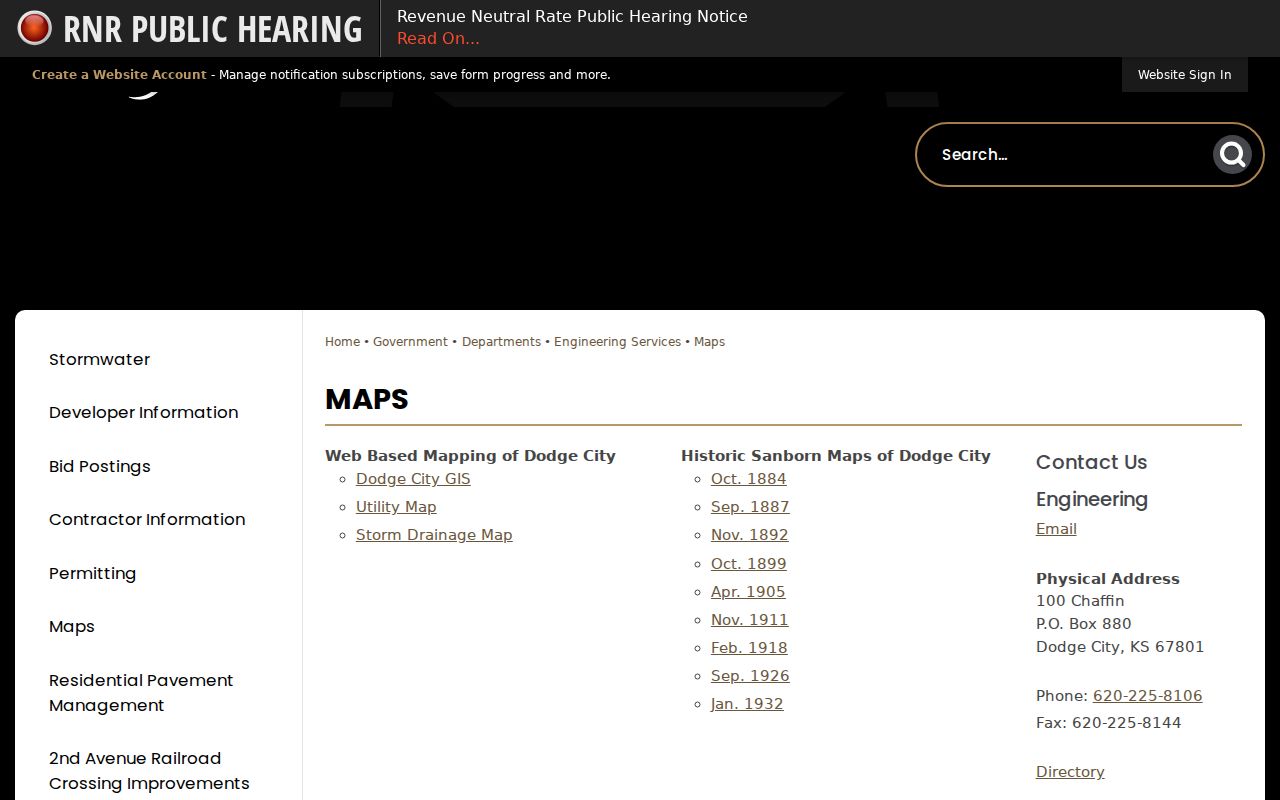
The captured page is a city geography source, not a roster of Dodge City neighbors. Use it to identify the right map and agency.
The county’s GIS and Survey page links parcel ownership, subdivision, survey, zoning, flood, and voting-place tools.
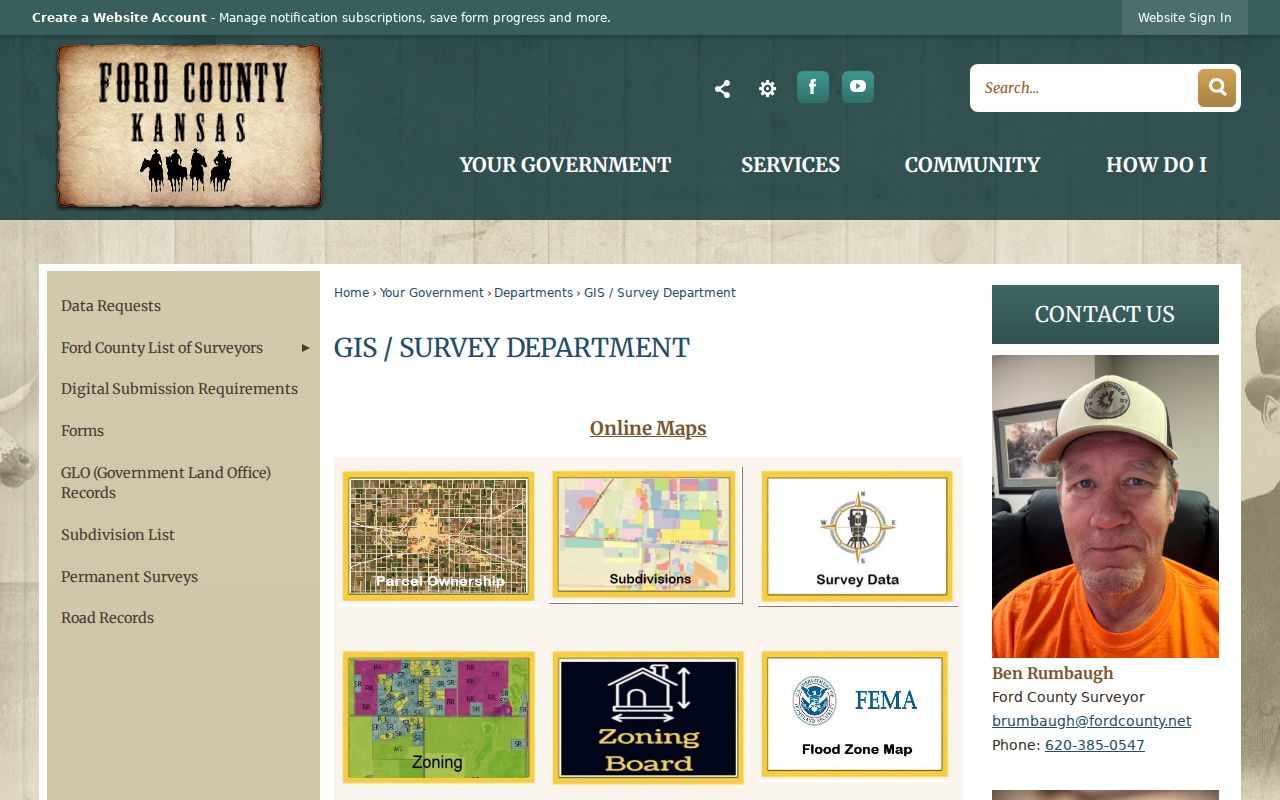
That source also gives staff contacts and paid data options when the public viewer cannot settle an adjacency question.
Dodge City Parcel Layer Clues
Parcel boundaries show legal geometry. Zoning, flood, survey, and subdivision layers add context, while the “Where do I vote” layer concerns an election area. None of those layers adds a list of occupants. One address can also span more than one parcel, and one parcel can hold more than one street address.
A county sample parcel diagram displays adjacent tracts, addresses, a scale, and a legend, but carries an informational-only warning. It is not a survey or conveyance instrument. When the legal edge matters, use the recorded plat or deed description and ask the county about an official data product. The published fee schedule lists buffer maps at $30, custom work at $30 per hour, and tiered parcel/address-point orders.
Note: Aerial closeness is not legal adjacency when a road, alley, drainage strip, or separate parcel lies between two properties.
Dodge City Planning Records
The Dodge City Archive Center can reveal public activity around a block through planning, zoning, historic-landmark, parks, land-bank, and commission records. Search by street, applicant, project, meeting body, or date. A packet may name an owner, contractor, or applicant even though the archive has no resident-search box.
For older material or a file that is not posted, use the Dodge City public-record channel. Ford County has its own KORA form for county records. Ask for a defined packet, address, project, and date span. That request method is more likely to find a useful record than asking for “all neighbors” on a block.
Dodge City Neighbor Voter Limits
Kansas VoterView requires first name, last name, and date of birth. It does not accept a block, radius, or ZIP search. A match can confirm current registration facts and polling information, but a no-match does not prove that an address is empty.
The state CVR process offers paid certified extracts with specific district, county, party, and delivery choices. Restricted identifiers are removed, commercial use is prohibited, and protected voter information remains shielded. The Ford County Election Office can answer a registration question by phone or at its counter. Historical research takes another route: KHS MS160 preserves a Dodge City voter register for 1886 through 1902 on microfilm.
Dodge City Community Contacts
No official Dodge City neighborhood-association directory, HOA roster, block-watch list, congregation roll, chamber roster, or public civic-club address list was found. Private membership should not be implied. Public institutions still provide safe routes to community history and open meetings.
Kansas Heritage Center
1001 N. 2nd Avenue
620-225-0248
Local books, newspapers, yearbooks, clubs, organizations, photos, and vertical files.
Ford County Legacy Center
310 Gunsmoke Street
County communities, artifacts, oral-history work, historic cemetery material, and public exhibits.
Dodge City Archive
Online agenda and minute categories
Public boards, planning, parks, landmarks, and civic activity tied to a place.
The Kansas Heritage Center repository exposes collection descriptions, not a universal name index. Contact staff when a club, school, church, or block name appears only in a vertical file. The Ford County Historical Society is better for local artifacts and oral-history context than current member data.
Historic Dodge City Neighbors
Dodge City’s Sanborn fire-insurance maps cover 1884, 1887, 1892, 1899, 1905, 1911, and 1926. They show building footprints, street patterns, and uses, not a complete list of people. Pair a sheet with a directory year, Census schedule, newspaper, voter register, or deed to connect a structure to a dated household.
The block itself may have changed. Tin Pan Alley became Chestnut and later Wyatt Earp Boulevard. Front Street’s 1967 to 1969 urban renewal removed old structures. Two 1885 fires also changed the built setting. A modern parcel can therefore sit near the location of an old building without continuing the same address or household. Legal descriptions and historic maps are safer bridges than a street name alone.
Dodge City Neighbor Source Check
Official and commercial neighbor tools can display similar-looking rows, yet they have different authority. Keep the custodian and date beside each claim.
| Source type | Strength | Limit |
|---|---|---|
| County GIS and parcel roll | Official parcel geometry and recorded tax owner | Does not identify every occupant |
| Recorder and city archive | Dated deeds, legal descriptions, and public actions | May require fees, a counter visit, or a focused request |
| Library and historical maps | Dated block and household context | Coverage is irregular and not current |
| Commercial compilation | May combine many sources quickly | Can be stale, merge people, or misplace nearby households |
Use an official record to support a specific fact. Treat a commercial compilation only as an unverified lead, and do not republish its household claims.
Dodge City Neighbor Privacy
Public parcel research does not open utility accounts, delivery records, private association membership, or the identities of household members absent from a lawful public record. Kansas Safe at Home gives qualifying victims a substitute address for many public transactions. Protected voter addresses, sealed files, Social Security numbers, full birth dates, signatures, account data, and needless personal contact details must remain private.
A missing or substitute address is not an error to defeat with another database. Kansas law also restricts motor-vehicle records and commercial use of voter or compiled public-record lists. Use only the minimum facts needed for property curiosity, family history, civic transparency, reconnecting, or personal safety.
Corrections also belong with the office that issued the record. Ask the appraiser about a parcel-card error, the election office about registration, and the city records custodian about a public packet. A commercial opt-out cannot alter the government source.
Lawful use. Research Dodge City neighbors with respect. Never use a map, registration record, or directory entry to watch, threaten, stalk, harass, or harm anyone.
Stop when the official trail reaches a protected fact. The best block record is a dated, limited account of parcels and public actions, not a profile of private lives.
Keep notes by source and date. That small habit makes later changes clear and prevents an old Dodge City record from being mistaken for a present fact about your neighbors.